Browse crosses
![]()
![]()
![]()

|
Browse crosses |
|
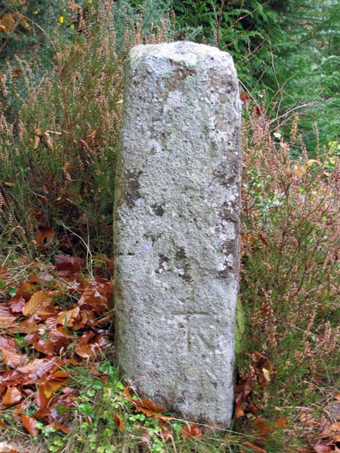
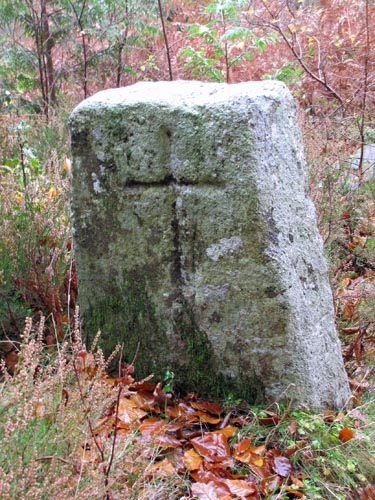 Location:
Beside the track (left hand
side) leading up from Fingle Bridge to Cranbrook Castle. It sits under a
substantial fir tree, behind a log barrier. Location:
Beside the track (left hand
side) leading up from Fingle Bridge to Cranbrook Castle. It sits under a
substantial fir tree, behind a log barrier.O/S Grid Ref: SX/74247/89540 Longitude/Latitude (Degrees+/-): -3.78173/50.69187 Map location: Click here to view map. Purpose: Not known. Size: The pillar tapers from 2 feet (0.61 metres) wide at its base to 1 foot 6 inches (0.46 metres) at the top. It is 3 feet 3 inches (1.00 metres) high and 11 inches (0.28 metres) in depth. The incised cross measures 16 inches (0.41 metres) high and 10 inches (0.26 metres) across the arms. The incision is rounded and measures 1½ inches wide by ½ inch deep. Information:
This cross has been in
existence for a long time, as William Crossing records that Mr G.W.
Ormerod photographed and recorded it in 1863. Both
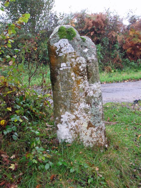
The path continues up through the woods and passes close to the iron-age fort of Cranbrook Castle. At the point where this path meets the minor road from Easton to Dunsford, there is a small triangle of grass and trees. At the nearest point of the triangle there is now a redundant Trig. Pillar. A brass plaque at bottom of pillar summarises its history, showing that it was first erected in February 1949, inside the ramparts of Cranbrook Castle. My 1991 version of the O.S. map shows its position as being just inside the southern rampart of the castle. However, the plaque confirms that it was moved to its current location, for conservation purposes, in 1993, at which time it was adopted by the Moretonhampstead Parish Council. On the right hand
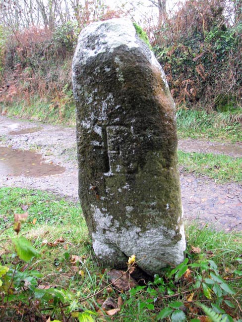
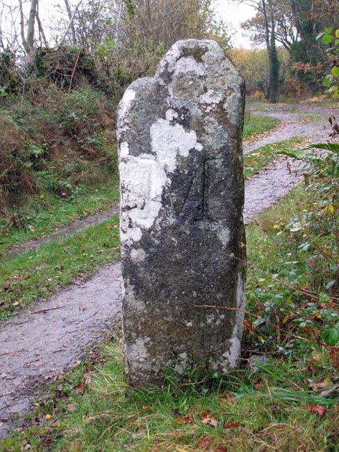
point of the Junction there is an interesting waymarking stone, with letters
inscribed on each of its four faces, as follows: On the north face is ‘D-T’
(Drewsteignton), the east shows an ‘E’ (Exeter), the south face has an ‘M’
(Moretonhapmstead) and Below the cross is Fingle Bridge, a picturesque crossing point over the River Teign. The granite arched bridge, which dates from about the 16th or 17th century, was once a key crossing point over the river. Next to the bridge is the Angler’s Rest, a pub/restaurant which provides shelter and refreshments to tourists, walkers and anglers alike. This popular establishment began life early in the 20th century as a temporary shelter from which teas were served to grateful anglers and has gradually expanded from those humble beginnings to the flourishing trade it enjoys today.
|