Browse crosses
![]()
![]()
![]()

|
Browse crosses |
|
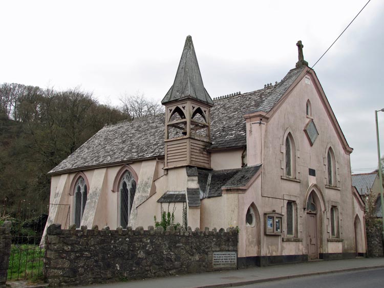
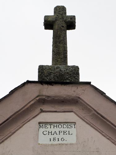 Location:
The chapel is on the South
side of the main A30 road in the centre of the village of Sticklepath. The
cross can be seen on the roadside apex of the roof. Location:
The chapel is on the South
side of the main A30 road in the centre of the village of Sticklepath. The
cross can be seen on the roadside apex of the roof.O/S Grid Ref: SX/64032/94076 Longitude/Latitude (Degrees+/-): -3.92794/50.73034 Map location: Click here to view map. Purpose: Not known. Size: Not attainable. Information: The cross is set in a square socket stone and appears to be leaning back over the roof at quite an angle. I am unable to discover the origins of the cross but there is a plaque set into the wall beneath it, which reads: Methodist Chapel I presume this to be the date that the chapel was built, but I am unable to find out whether the cross was made for the chapel or if it has been reused from another site.
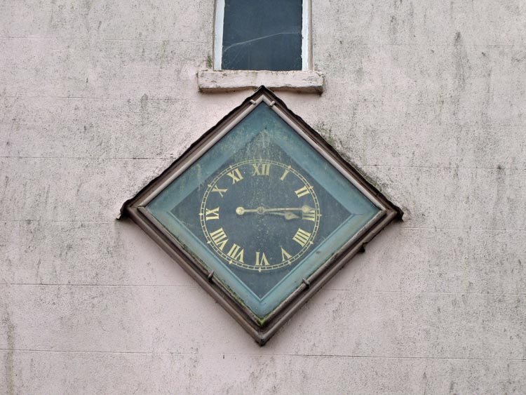
This clock was erected
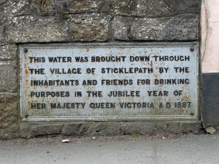
Set into the roadside wall, immediately to the left of the Methodist Chapel, is a large metal plaque that records that drinking water was brought here by the inhabitants and friends of the village in 1887, the year of Queen Victoria's Diamond Jubilee The meaning of the name ‘Sticklepath’ is ‘Steep Path’ and anyone who has climbed to the top of Cosdon from here will certainly agree with this interpretation. |