Browse crosses
![]()
![]()
![]()

|
Browse crosses |
|
 Location:
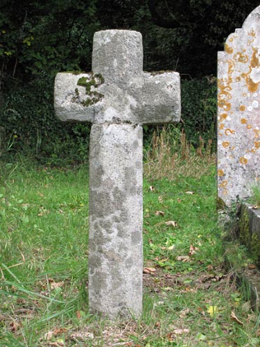
In the churchyard, to the north east of the church. Although there is no
name shown against the grave at which the cross stands, there is an ornate
grave right next to it relating to a member of the Furneaux family. Location:
In the churchyard, to the north east of the church. Although there is no
name shown against the grave at which the cross stands, there is an ornate
grave right next to it relating to a member of the Furneaux family.
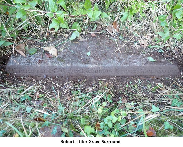
O/S Grid Ref: SX/74280/66596 Longitude/Latitude (Degrees+/-): -3.77350/50.48564 Map location: Click here to view map. Purpose: Probable waymarker, although its original site is unknown. Size: 3 feet 6 inches (1.07 metres) tall. 1 foot 6 inches (0.46 metres) across the arms. The shaft is 7 inches (0.18 metres) wide and 5 inches (0.13 metres) deep. Information: This well-worked octagonal cross is in very good condition, with the only visible damage being the repair to its head. This has obviously come adrift at some point, but has been skilfully re-attached to the shaft. Although there is no sign of its socket stone the rest of the cross would appear to be original. Not a great deal seems to be known of the origins of this cross. It probably originally stood at a key point in the locality, as a waymarker. William Crossing first wrote about it as being in the possession of Mr R.J. King in the middle of the 19th century. Mr King was a local historian who lived at Bigadon, about ¾ mile to the south east of Buckfastleigh. It was his intention to set the cross up in an appropriate place on the moor. However, for some reason he left the area before this was accomplished. The cross therefore came into the possession of the new owners, General Sir John and Lady Littler. It was Lady Littler who arranged for it to be erected as a gravestone for her son in the churchyard.
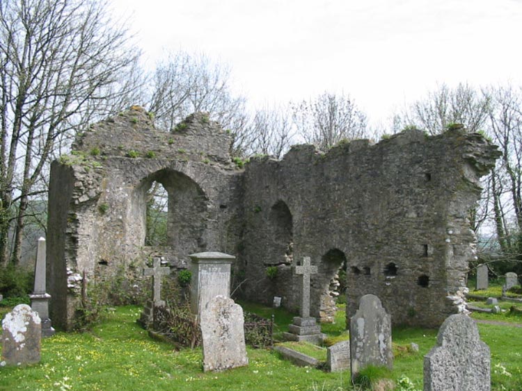
The 13th century church of the Holy Trinity stands at the top of the hill above the town. Here, there are excellent views of the surrounding countryside, but the only drawback is the 196 steps to be climbed in reaching your destination first. The church is unique amongst the parishes of Dartmoor in that it is the only one with a spire, rather than a tower.
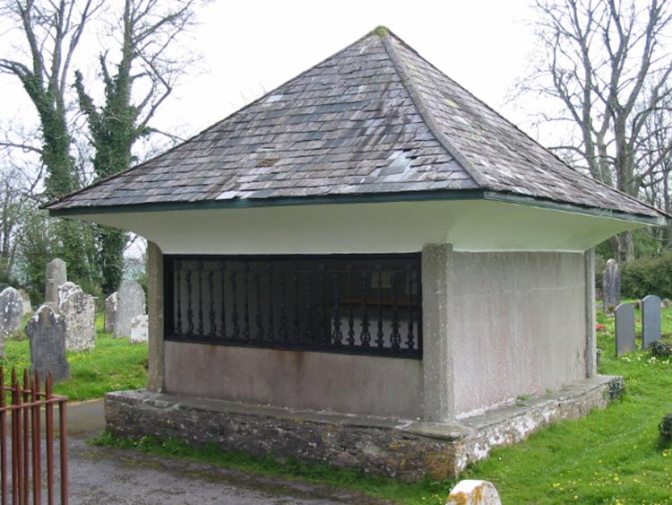
Also in the churchyard, by the south door of the church, is the curious tomb of Richard Cabell. He was the legendary ‘wicked squire’ of Buckfastleigh, who made life intolerable for his tenants and servants. It is thought that his grave was deliberately shaped like a house, in order to prevent him from escaping. Legend also links his ghost with the ‘Demon Hunter’, who can sometimes be seen hunting with hounds out on the moor during dark nights and chasing the souls of wicked people. Outside the churchyard is the entrance to Baker’s Pit. This is a series of limestone tunnels and caves that meander through the hill beneath the church. As one would expect they are very dark and wet inside and are mainly negotiated by crawling through on hands and knees and by inching forward lying flat on one’s stomach. At one point there is even a sheer drop and the only way down is by lowering oneself, hand over hand, on a rope fixed in position. Although not open to the public, I am told that an opportunity to explore these caves is an interesting experience. Our thanks to Bob Noakes for providing the photo and measurements of the Robert Littler grave surround stone. |