Browse crosses
![]()
![]()
![]()

|
Browse crosses |
|
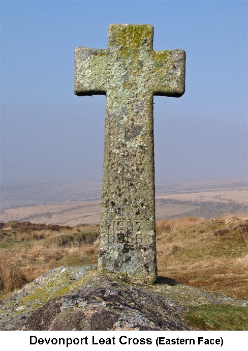
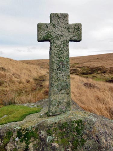 Location:
Beside
the Devonport Leat, about 500 yards west of Nun’s Cross Farm. Location:
Beside
the Devonport Leat, about 500 yards west of Nun’s Cross Farm.
O/S Grid Ref: SX/59955/69913 Longitude/Latitude (Degrees+/-): -3.97654/50.51221 Map location: Click here to view map. Purpose: Memorial Cross. Size: 4 feet 7 inches (1.40 metres) tall and 2 feet (0.61 metres) across the arms. The shaft tapers from 1 foot 1 inch (0.33 metres) at the base to 10 inches (0.25 metres) below the arms. Information:
Being
modern, this cross is in very good condition and has been well fashioned
from a single block of granite. The rectangular shaft tapers up towards
the arms, which are also slightly tapered inwards. The cross was
set up in 1968, with the consent of the National Park Authorities, It appears as though the socket stone once held an ancient cross, one of a series that marked the way for the Monks’ Path, but there is now no trace of that earlier cross. Other nearby crosses along this route include Horn's Cross, Newleycombe Cross, Crazywell Cross and possibly the Crazywell Farm Cross, of which only the shaft now exists. |