| Location: 50 yards
to the west of the track that runs along the top of Hameldown, from
Hameldown Beacon to Hameldown Tor.
O/S Grid Ref:
SX/70426/80115
Longitude/Latitude (Degrees+/-): -3.83250/50.60632
Map location:
Click here
to view map.
Purpose: The
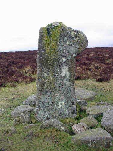
cross was probably erected as a manorial boundary marker.
Size: 4 feet
5 inches (1.30 metres) tall. 2 feet 1 inch (0.64 metres) across the arms.
Information:
This is an old and battered
cross, with the Southern Arm having been broken off.
The following has
been inscribed into the Eastern face of the cross:
|