Browse crosses
![]()
![]()
![]()

|
Browse crosses |
|
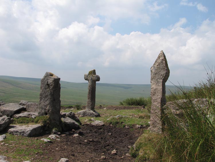
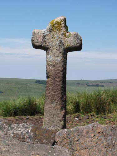 Location:
Inside the Corner of the Fox Tor Newtake wall on Ter Hill Location:
Inside the Corner of the Fox Tor Newtake wall on Ter HillO/S Grid Ref: SX/63660/70593 Longitude/Latitude (Degrees+/-): -3.92457/50.51919 Map location: Click here to view map. Purpose: One of a number of crosses that marks the route of the Monks’ Path. This is the ancient name given to the track that links the Buckfast Abbey with those at Tavistock and Buckland. This path takes a more northerly route than the more commonly known Abbots’ Way. Size: 5 feet 7 inches (1.70 metres) tall. 2 feet 4 inches (0.70 metres) across the arms. Information:
‘Mount Misery’ is the local name for this corner of the Fox
Tor Newtake, so called due to the harsh conditions encountered when |