Browse crosses
![]()
![]()
![]()

|
Browse crosses |
|
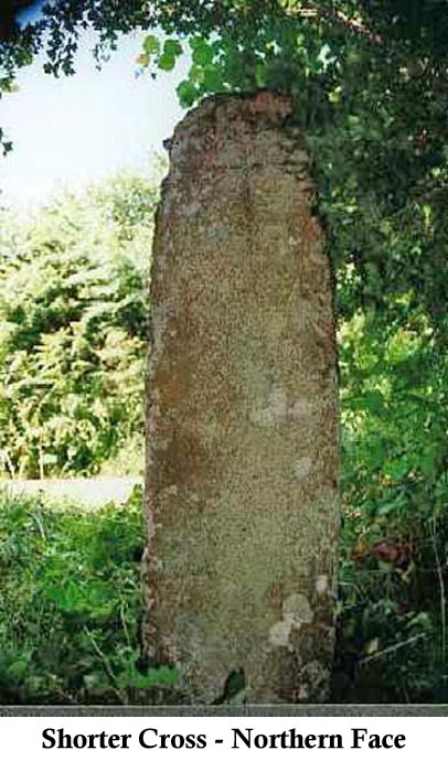
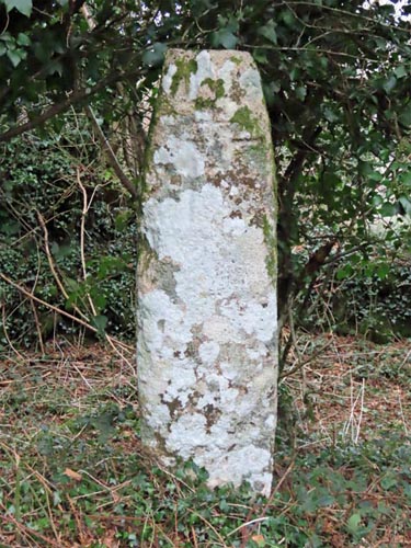 Location:
Beside the road, leading
from Chagford to Middlecott Farm, about ¼ mile North West of Middlecott
Farm. Location:
Beside the road, leading
from Chagford to Middlecott Farm, about ¼ mile North West of Middlecott
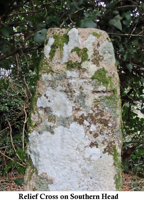
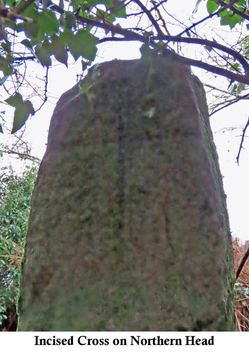
Farm.O/S Grid Ref: SX/71367/86445 Longitude/Latitude (Degrees+/-): -3.82141/50.66342 Map location: Click here to view map. Purpose: As a waymarker for the track from Moretonhampstead and North Bovey to Chagford. Size: 5 feet 8 inches (1.73 metres) tall. 12 inches (0.30 metres) wide at the top, 1 foot 6 inches (0.46 metres) across at the bottom. The relief cross on the southern head is 1 foot 9 inches (0.53 metres) tall and 1 foot 1 inch (0.33 metres) across the arms.
In 1873, the cross was taken from its site and put into use as the base for the water pump at Middlecott Farm. This was put right in 1900 when, under the supervision of Major Yolland, it was restored to its former site.
|