|
Location:
Ter
Hill, just outside of the Fox Tor Newtake, on the path to Skir Ford and
Down Ridge. About 400 yards from Mount Misery Corner.
O/S Grid Ref:
SX/64036/70623
Longitude/Latitude (Degrees+/-): -3.91928/50.51955
Map location:
Click here
to view map.
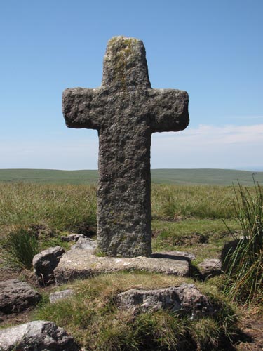
Purpose: One of a number of crosses that marks the route of the Monks’ Path. This
is the ancient name given to the track that links the Buckfast Abbey with those at Tavistock and
Buckland. This path takes a more northerly route than the more commonly known Abbots’ Way.
Size: 3
feet 11 inches (1.20 metres) tall. 2 feet 3 inches (0.70 metres) across
the arms.
Information:
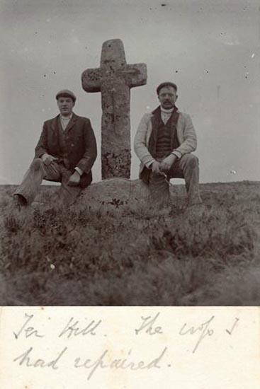
The original cross
from this site is another of the crosses that has been badly damaged over
the years. It was re-erected by the Dartmoor Preservation Society in 1885,
when the shaft was found to have been broken in several places. Although a
piece of the shaft was missing, the remaining pieces were clamped
together, with the result that the cross was substantially shorter than it
once was.
Over the years it
continued to be used as a rubbing post for cattle and has been knocked
over several times. More recently, it was taken away for repair in 1994 by
the Dartmoor National Park Authority. It was then thought to be too
fragile to be re-erected at this site, where it would be exposed to the
elements and cattle rubbing etc. After repair, it was set up in the Jack
Wigmore Memorial Garden, at the rear of the High Moorland Centre, in
Princetown. Here it will be able to enjoy the required protection for the
foreseeable future.
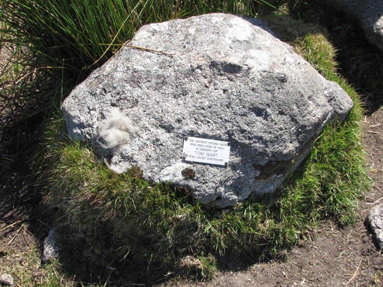
The
National Park Authority arranged for a copy of the cross to be made and
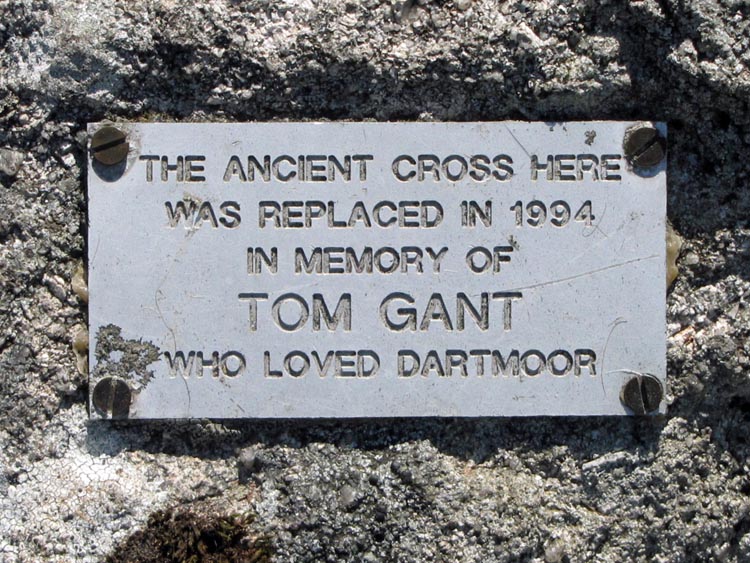
this now stands on the original site. A nearby rock bears a small metal
plate with the inscription:
|