Browse crosses
![]()
![]()
![]()

|
Browse crosses |
|
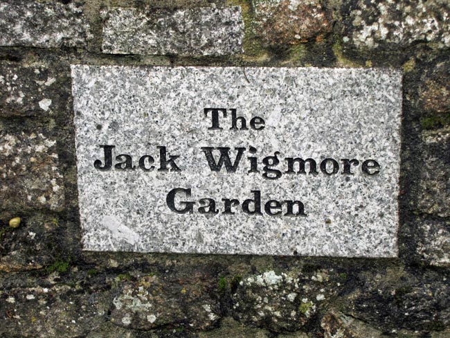
 Location:
In the top right hand
corner of the Jack Wigmore Memorial Garden, at the rear of the High
Moorland Centre, Princetown. Location:
In the top right hand
corner of the Jack Wigmore Memorial Garden, at the rear of the High
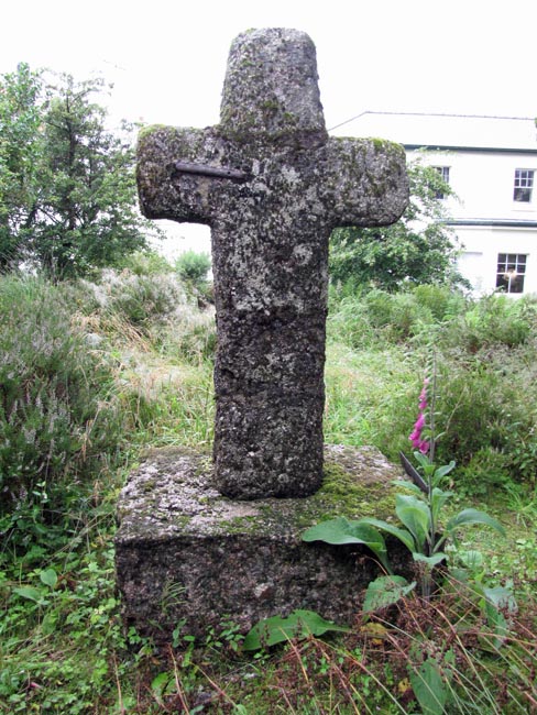
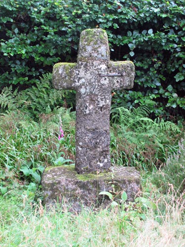
Moorland Centre, Princetown.O/S Grid Ref: SX/58994/73461 Longitude/Latitude (Degrees+/-): -3.99143/50.54386 Map location: Click here to view map. Purpose: This was one of a number of crosses that marked the route of the Monks’ Path. This is the ancient name given to the track that links the Buckfast Abbey with those at Tavistock and Buckland. Size: 3 feet 11 inches (1.20 metres) tall. 2 feet 2 inches (0.66 metres) across the arms. The shaft measures 11 inches (0.28 metres) wide by 7 inches (0.18 metres) in depth.
The cross is the
original Ter Hill SW cross, which had become badly damaged. It had been
thrown down and re-erected several times, after being used as a rubbing
post by the cattle on the open moor. In 1994, after being thrown down once
again, it was decided by the Dartmoor National Park Authority that it had
become too fragile to be set up in the same position again. A new cross
was This ancient cross is roughly hewn and is square in section. It sits in a large square socket stone, which measures 2 feet 8 inches (0.81 metres) by 1 foot 11 inches (0.58 metres) and 12 inches (0.30 metres) high. The right hand arm has been knocked off and is now cemented back into place, reinforced by an iron clamp front and back. The head shows evidence of being cemented back into place and the shaft has been joined together in at least two places. |